Sea of Japan (East Sea)
General data
- Name: Sea of Japan (East Sea)
- Basin: Pacific Ocean
- Water type: Sae
- Progression: Pacific Ocean -> Planet Earth
- Climates: Subtropical, Temperate
- Continents: Asia
- Countries: Japan, North Korea, Russia, South Korea
Description
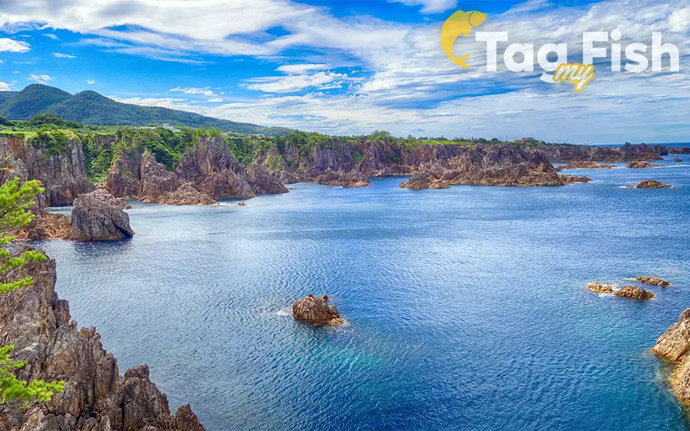
The Sea of Japan is the marginal sea between the Japanese archipelago, Sakhalin, the Korean Peninsula, and the mainland of the Russian Far East. The Japanese archipelago separates the sea from the Pacific Ocean. A dispute exists over the international name for the body of water which is bordered by Japan, Korea (North and South) and Russia. In 1992, objections to the name Sea of Japan were first raised by North Korea and South Korea at the Sixth United Nations Conference on the Standardization of Geographical Names. The Japanese government supports the exclusive use of the name Sea of Japan, while South Korea supports the alternative name East Sea, and North Korea supports the name Korean East Sea. Currently, most international maps and documents use either the name Sea of Japan (or equivalent translation) by itself, or include both the name Sea of Japan and East Sea, often with East Sea listed in parentheses or otherwise marked as a secondary name. Like the Mediterranean Sea, it has almost no tides due to its nearly complete enclosure from the Pacific Ocean. This isolation also affects faunal diversity and salinity, both of which are lower than in the open ocean. The sea has no large islands, bays, or capes. Its water balance is mostly determined by the inflow and outflow through the straits connecting it to the neighboring seas and the Pacific Ocean. Few rivers discharge into the sea and their total contribution to the water exchange is within 1%. The seawater has an elevated concentration of dissolved oxygen that results in high biological productivity. Therefore, fishing is the dominant economic activity in the region. The intensity of shipments across the sea has been moderate owing to political issues, but it is steadily increasing as a result of the growth of East Asian economies. Climate The sea climate is characterized by warm waters and monsoons. This combination results in strong evaporation, which is especially noticeable between October and March when the strong (12–15 m/s or higher) north-western monsoon wind brings cold and dry continental air. The evaporation is blown further south causing snowfall in the mountainous western coasts of Japan. This winter monsoon brings typhoons and storms with the waves reaching 8–10 m (26–33 ft) which erode the western coasts of Japan. Tsunami waves were also recorded in the sea. In addition, the monsoon enhances the surface water convection, down to the depths of 30 m (98 ft). The coldest months are January and February with the average air temperature of −20 °C (−4 °F) in the north and 5 °C (41 °F) in the south. The northern one-quarter of the sea, particularly the Siberian coast and the Strait of Tartary, freezes for about 4−5 months. The timing and extent of freezing vary from year to year, so ice may start forming in the bays as early as October and its remains may be seen even in June. Ice cover is continuous only in the bays and forms floating patches in the open sea. Ice melting in spring results in cold currents in the northern areas. In summer the wind weakens to 2–7 m/s (6.6–23.0 ft/s) and reverses its direction, blowing warm and humid air from the North Pacific onto the Asian mainland. The warmest month is August with an average air temperature of 15 °C (59 °F) in the north and 25 °C (77 °F) in the south. Annual precipitation increases from 310–500 mm (12–20 in) in the northwest to 1,500–2,000 mm (59–79 in) in the southeast.

