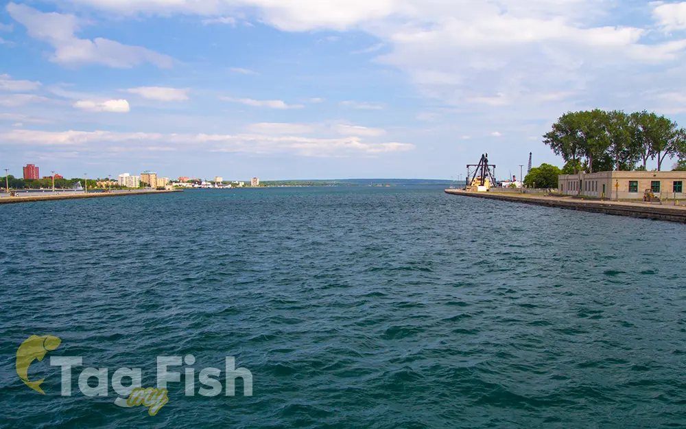
St. Marys River (Michigan–Ontario)

General data
- Name: St. Marys River (Michigan–Ontario)
- Water system: St. Lawrence River
- Water type: River
- Source: Lake Superior
- Progression: Lake Huron -> St. Clair River -> Lake St. Clair (North America) -> Detroit River -> Lake Erie -> Niagara River -> Lake Ontario -> St. Lawrence River -> Gulf of St. Lawrence -> Atlantic Ocean -> Planet Earth
- Climates: Continental
- Continents: North America
- Countries: Canada, United States of America
The St. Marys River drains Lake Superior, starting at the end of Whitefish Bay and flowing 74.5 miles (119.9 km) southeast into Lake Huron, with a fall of 23 feet (7.0 m). For its entire length, it is an international border, separating Michigan in the United States from Ontario, Canada. The St. Marys Rapids are just below the rivers exit from Lake Superior and can be bypassed by huge freight ships through the man-made Soo Locks and the Sault Ste. Marie Canal. Two of the Ontario tributaries of this river are the Garden River and the Bar River. Other Canadian tributaries include Fort Creek, the Root River, the Little Carp River, the Big Carp River, the Lower Echo River, Desbarats River, and the Two Tree River. The American tributaries to the St. Marys River are the Gogomain River, the Munuscong River, the Little Munuscong River, the Charlotte River, and the Waiska River.

 English
 Spanish
 German
 French
 Serbian
 Russian

