Sevier River

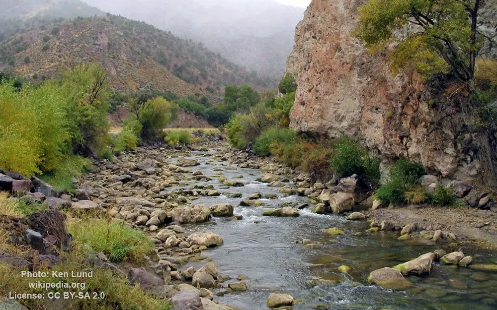
Image source: Ken Lund
General data
- Name: Sevier River
- Water system: Sevier Lake
- Water type: River
- Progression: Sevier Lake -> Planet Earth
- Climates: Arid (desert)
- Continents: North America
- Countries: United States of America
Description
The Sevier River is a 400-mile (640 km)-long river in the Great Basin of southwestern Utah in the United States. Originating west of Bryce Canyon National Park, the river flows north through a chain of high farming valleys and steep canyons along the west side of the Sevier Plateau before turning southwest and terminating in the endorheic basin of Sevier Lake in the Sevier Desert. It is used extensively for irrigation along its course, with the consequence that Sevier Lake is usually dry. The Sevier River historically supported large areas of wetland and riparian zones, especially where it formed a delta at the northern end of Sevier Lake. Many of these habitats have been replaced by agriculture, but there are still an estimated 92,000 acres (37,000 ha) of wetland and aquatic habitat extant in the basin, of which about half is located in Millard and Sanpete counties alone. The upper reaches of the river and many mountain tributaries are home to cutthroat trout, brook trout and rainbow trout, of which cutthroat are the only native species. Much of the lower part of the river is a warm water fishery with brown trout, carp, suckers and channel catfish. Common fish found in reservoirs are walleye, smallmouth bass, yellow perch and northern pike.