Rattlesnake Creek (Ohio)
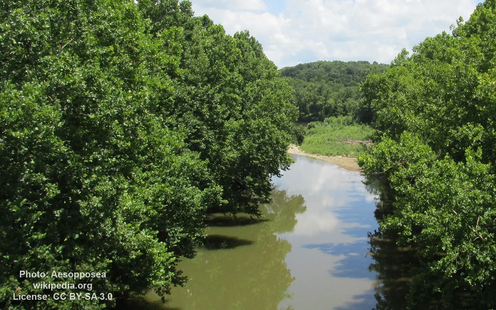
Image source: Aesopposea
General data
- Name: Rattlesnake Creek (Ohio)
- Water system: Mississippi River
- Water type: River
- Progression: Paint Creek Lake -> Paint Creek (Scioto River tributary) -> Scioto River -> Ohio River -> Mississippi River -> Gulf of Mexico -> Atlantic Ocean -> Planet Earth
- Climates: Temperate
- Continents: North America
- Countries: United States of America
Rattlesnake Creek is a tributary of Paint Creek, 42.3 miles (68.1 km) long, in south-central Ohio in the United States.
Via Paint Creek and the Scioto and Ohio Rivers, it is part of the watershed of the Mississippi River, draining an area of 277 square miles (720 km2).
Rattlesnake Creek rises near South Solon in southwestern Madison County, and flows generally southeastwardly through Fayette, Clinton and Highland counties, past the town of Octa.
It joins Paint Creek in Paint Creek State Park as an arm of Paint Creek Lake, 5 miles (8.0 km) south of Greenfield.
Parts of the creek flow through rapids; 3 miles (4.8 km) in Highland County have been rated Class II (IV) whitewater rapids.