Esches
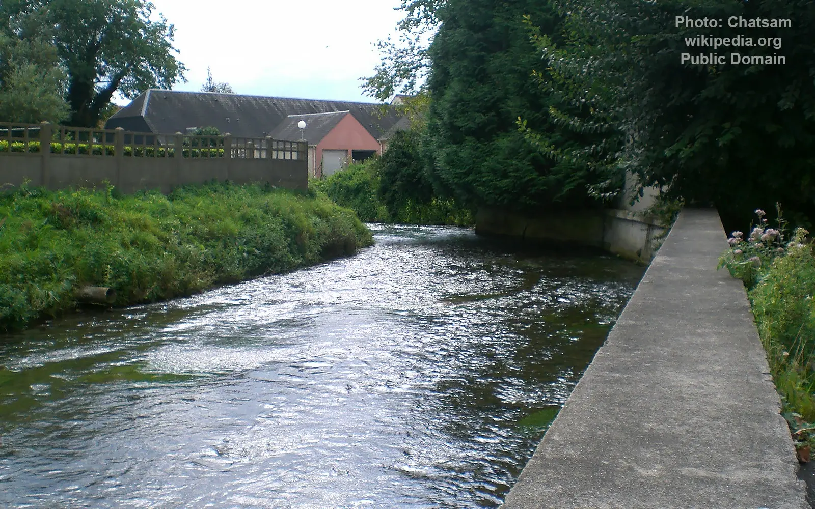
Image source: Chatsam
General data
- Name: Esches
- Water system: Seine
- Water type: River
- Progression: Oise River -> Seine -> English channel -> Atlantic Ocean -> Planet Earth
- Climates: Temperate
- Continents: Europe
- Countries: France
The Esches River is a small but notable watercourse in northern France, located in the northern part of the Paris Basin.
Stretching approximately 20.22 km, the Esches flows through the departments of Oise (Hauts-de-France) and Val-d’Oise (Île-de-France). It is a right-bank tributary of the Oise River, and therefore part of the larger Seine River basin.
The river rises north of the hamlet of Lardières, within the commune of Méru, at an elevation of about 110 meters. In its upper course, it is initially known as the “ru de Méru”, before taking the name Esches as it enters the commune of the same name.
Flowing southward through rural landscapes and small settlements, the Esches joins the Oise River at Persan, at an elevation of around 22.5 meters. Its confluence is influenced by the L’Isle-Adam dam, particularly during low and moderate water levels.
An interesting feature is that the A16 motorway follows part of the river’s course, with distances between the two ranging from approximately 380 meters to 1.3 km.
Although relatively short, the Esches plays an important role in the local hydrological system and contributes to the ecological diversity of the region.
