Calapooia River
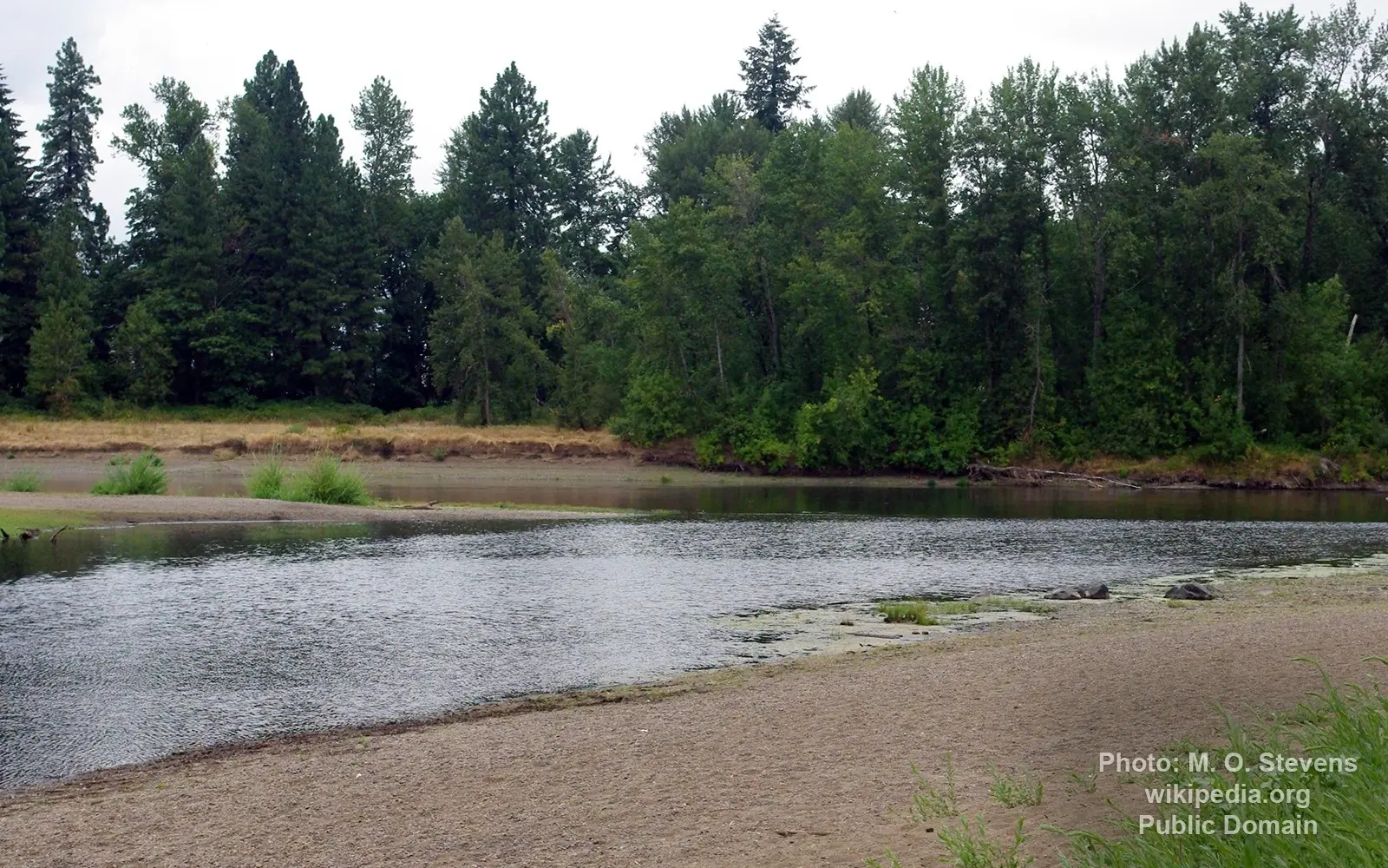
Image source: M. O. Stevens
General data
- Name: Calapooia River
- Water system: Columbia River
- Water type: River
- Progression: Willamette River -> Columbia River -> Columbia River Estuary -> Pacific Ocean -> Planet Earth
- Climates: Mountain
- Continents: North America
- Countries: United States of America
The Calapooia River is an 80-mile (130 km) tributary of the Willamette River in the U.S. state of Oregon.
The Calapooia flows generally northwest from its source in the Cascade Range near Tidbits Mountain. In its upper reaches, it passes through parts of the Willamette National Forest. Further downstream, it flows through Holley then Crawfordsville and Brownsville in the Willamette Valley before joining the Willamette at Albany. The city of Tangent is also near the river on a branch of one of its downstream tributaries, Lake Creek. The confluence of the two rivers is about 120 miles (190 km) by water from where the Willamette joins the Columbia River.
Named tributaries of the river from source to mouth are Eighteen, Treadwell, and United States creeks followed by the North Fork Calapooia River. Then come King, Potts, Barrett/Hands, Washout, McKinley and Blue creeks. Further downstream are Biggs, Fox, Sweet Honey, Cedar, Pugh, Sawyer, Johnson, and Brush creeks. Finally come Warren, Cochrane, Courtney, Lake, and Oak creeks.
