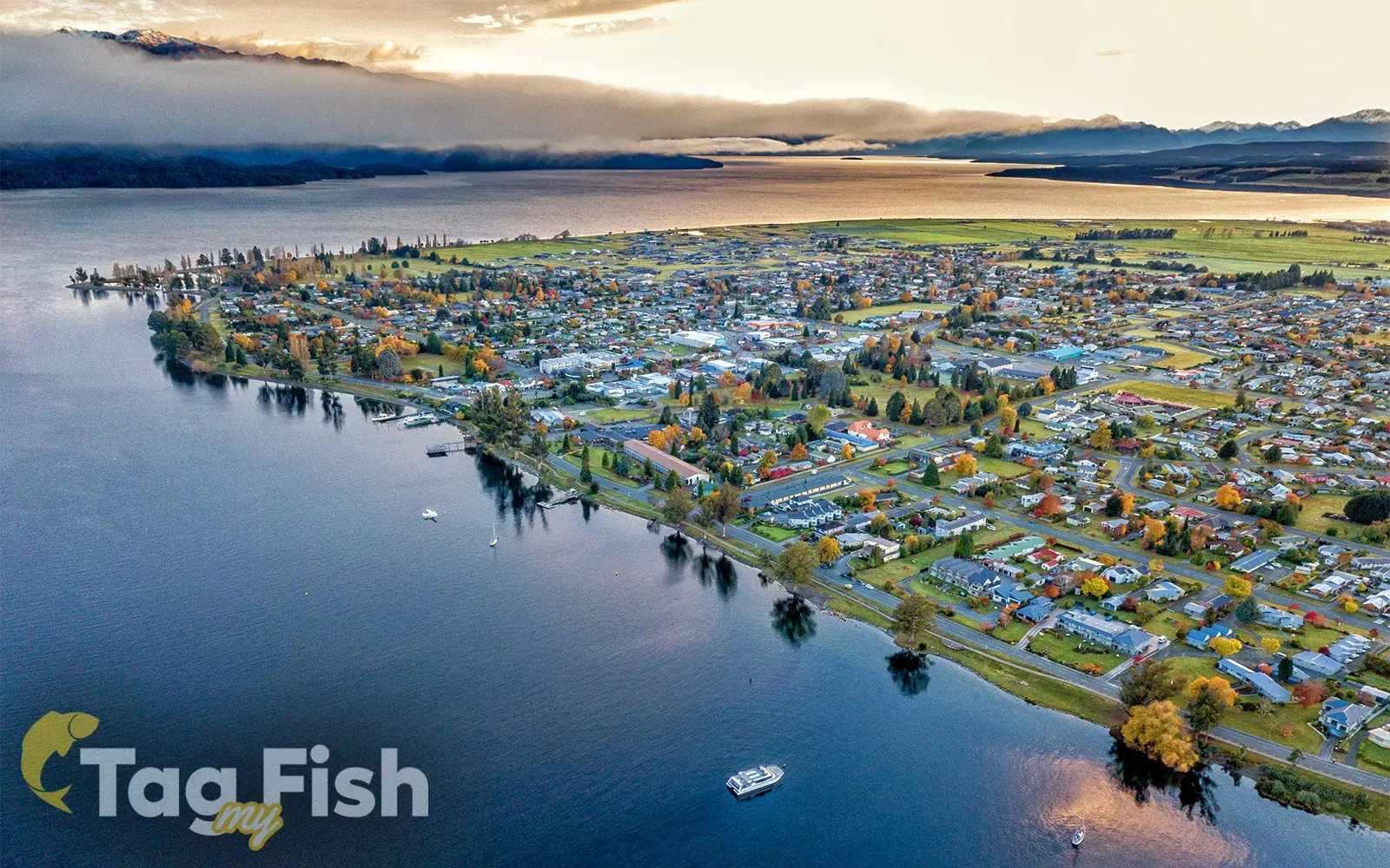

Lake Te Anau
Image source: Image licensed under subscription from 123rf.com
General data
- Name: Lake Te Anau
- Water system: Waiau River (Southland)
- Water type: Natural lake
- Progression: Waiau River (Southland) -> Te Waewae Bay -> Foveaux Strait -> Tasman sea -> Pacific Ocean -> Planet Earth
- Climates: Temperate
- Continents: Australia & Oceania
- Countries: New Zealand

Lake Te Anau is in the southwestern corner of the South Island of New Zealand. The lake covers an area of 344 km2 (133 sq mi), making it the second-largest lake by surface area in New Zealand (after Lake Taupō) and the largest in the South Island.
It is the second largest lake in Australasia by fresh water volume.
The main body of the lake runs north-south, and is 65 km in length.
Three large fiords form arms to the lake on its western flank: North Fiord, Middle Fiord and South Fiord. These are the only inland fiords that New Zealand has, the other 14 are out on the coast.
Several small islands lie in the entrance to Middle Fiord, which forks partway along its length into northwest and southwest arms.
The surface of the lake is at an altitude of 210 m.
It has a maximum depth of 425 m, so much of its bed lies below sea level, with the deepest part of the lake being 215 metres below sea level.
The Lake Te Anau control gates which control the flow of water from Lake Te Anau into the Waiau river and maintain the water level between 201.5 and 202.7 metres above sea level.
Several rivers feed the lake, of which the most important is the Eglinton River, which joins the lake from the east, opposite the entrance to North Fiord.
The outflow is the Waiau River, which flows south for several kilometres into Lake Manapouri. The town of Te Anau lies at the south-eastern corner of the lake, close to the outflow.