
Lake Manapouri
Image source: Image licensed under subscription from 123rf.com
General data
- Name: Lake Manapouri
- Water system: Waiau River (Southland)
- Water type: Natural lake
- Progression: Waiau River (Southland) -> Te Waewae Bay -> Foveaux Strait -> Tasman sea -> Pacific Ocean -> Planet Earth
- Climates: Temperate
- Continents: Australia & Oceania
- Countries: New Zealand

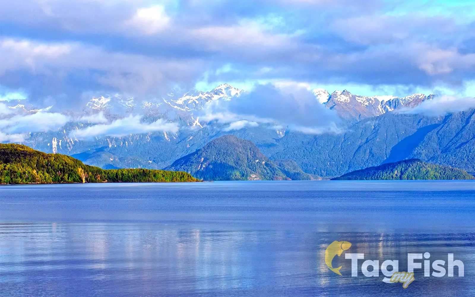
Lake Manapouri is a glacial lake in New Zealand and the country's second-deepest lake, reaching a maximum depth of 444 m (1,457 ft). Although its surface sits 178 m (584 ft) above sea level, the lake floor extends 267 m (876 ft) below sea level due to glacial erosion.
The lake has four main arms—North, South, West, and Hope—as well as Shallow Bay and Calm Bay. It contains 33 islands, 22 of which are forested. The largest is Pomona Island, while other notable islands include Holmwood, Rona, and Mahara. The township of Manapouri is located on the eastern shore.
The Waiau River naturally flows into Lake Manapouri from Lake Te Anau in the northeast and exits at the lake's southeastern end. Since the construction of the Manapōuri Hydroelectric Power Station, much of the outflow has been diverted westward through Deep Cove.